
Sakonnet Point, RI
I put in at the Sakonnet Point Public Fishing Ramp right on the road to the marina. After paddling out of the harbor, I followed the jetty toward the Sakonnet Point light. I rounded the lighthouse and headed between the point and the large rocks to the south. I followed the coast to the northeast, remaining outside the huge rocks which lie just offshore. After reaching Briggs Point, I made a beeline back toward Warren Point, then adjusted course for the outermost island south of Sakonnet Point. I had a glorious view of the rocky islands below the point as I passed outside them and fought the wind back toward the harbor. In total, I covered about 9 nautical miles.
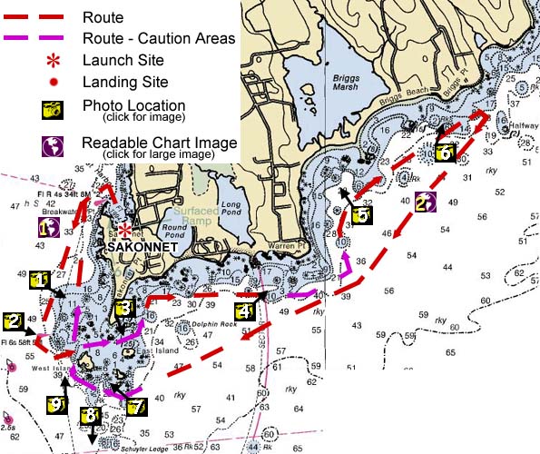
Image descriptions are keyed to the map above; you can also click on the map to see the image
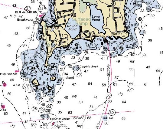 |
Sakonnet Point to Warren Point: high-resolution nautical chart (84kb) |
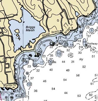 |
Warren Point to Briggs Point: high-resolution nautical chart (64kb) |
 |
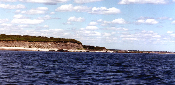
Sakonnet Point, RI |
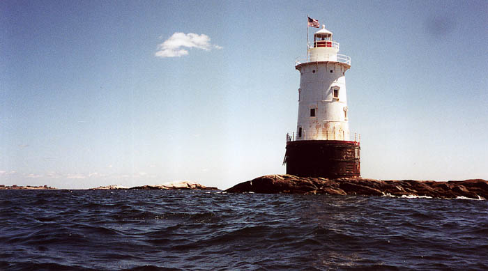 |
Sakonnet Point Light |
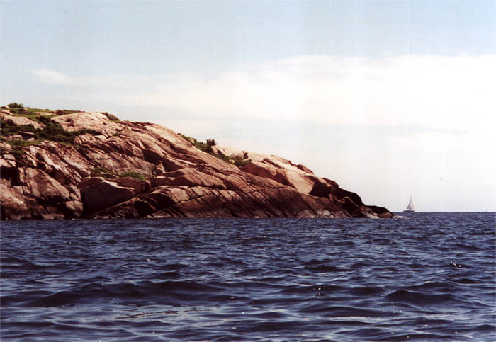 |
East Island, Sakonnet Point |
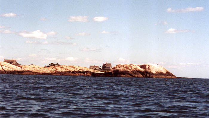 |
Warren Point |
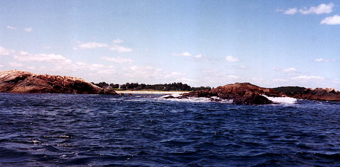 |
Rocks north of Warren Point |
 |
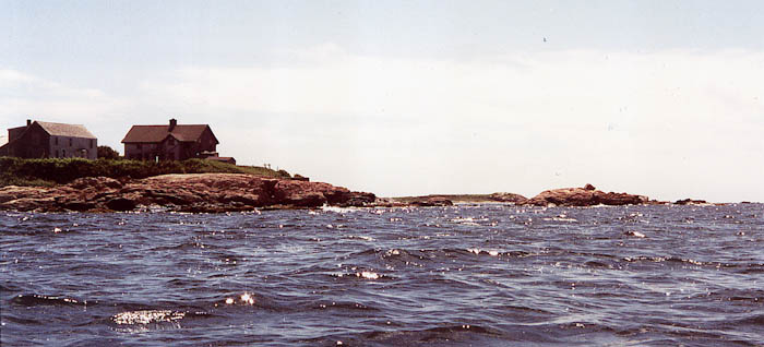
Briggs Point |
 |
East and West Islands framing Sakonnet Point Light |
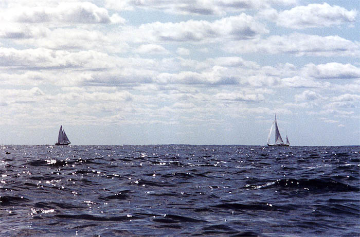 |
Sailboats off Sakonnet Point |
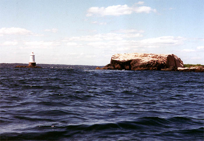 |
Sakonnet Point Light and West Island |


You are visitor number
© 2000 Daniel E. Smith. Last updated 9-4-00